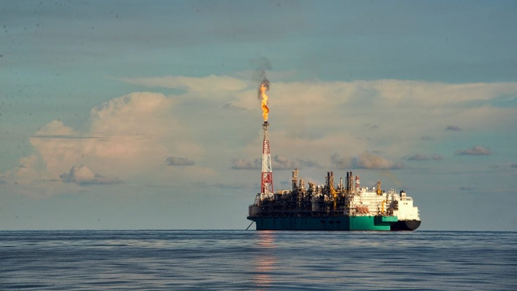
US-based company ION Geophysical is set to conduct a new 2D multi-client programme offshore Gabon in cooperation with the Gabon Ministry of Petroleum and Hydrocarbons (DGH).
Supported with industry funding, the programme, EquatorSPAN II, will include more than 1,900km of new high-quality, deeply imaged seismic data.
Go deeper with GlobalData

ION Geophysical Ventures group senior vice-president Joe Gagliardi said: “Deepwater oil exploration offshore West Africa has thrived over the last 20 years and this region remains an important component of many E&P companies' exploration portfolios.
"In conjunction with existing and planned BasinSPAN surveys in adjacent countries, EquatorSPAN II will enhance the knowledge of the entire basin."
EquatorSPAN II survey will provide a better understanding of geologic conditions and basin evolution of the region, and will also support future offshore licence rounds.
See Also:
The programme will procure information about the deep basin architecture, define the limits of various basins along the equatorial margin and identify potential petroleum systems.
How well do you really know your competitors?
Access the most comprehensive Company Profiles on the market, powered by GlobalData. Save hours of research. Gain competitive edge.

Thank you!
Your download email will arrive shortly
Not ready to buy yet? Download a free sample
We are confident about the unique quality of our Company Profiles. However, we want you to make the most beneficial decision for your business, so we offer a free sample that you can download by submitting the below form
By GlobalDataIn addition, EquatorSPAN II will integrate available offshore well data to regionally calibrate key stratigraphic horizons.
The survey will complement ION's library that holds more than 500,000km of 2D data and more than 100,000km² of 3D information in exploration and production hot spots worldwide.
EquatorSPAN II will link-up with other West Africa programmes that include EquatorSPAN I, CongoSPAN and NigeriaSPAN, to create a regional framework of the region.