
iXblue’s innovative DELPH software suite combines cutting-edge 3D cartographic visualisation capabilities with smart and fast tools for processing, mapping and interpreting data from a wide range of units, including magnetometers, side-scan sonars, reflection seismic and sub-bottom profilers, bathymetry, and others.
DELPH offers unrivalled batch processing performance, multi-sensor data correlation tools and an intelligent decisional aid algorithm for data interpretation, supporting features such as seabed classification and automated sonar target detection and measurement.
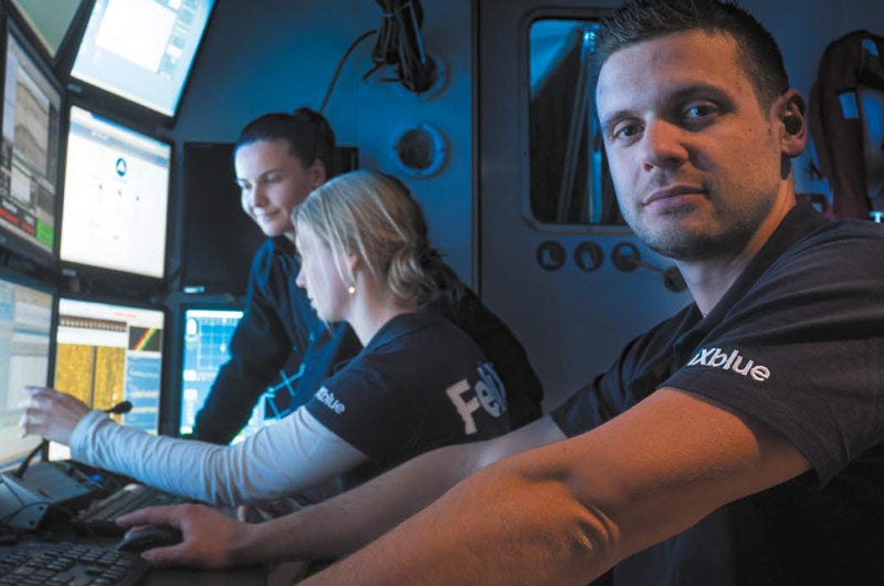
Nowadays, surveys combine data coming from a range of platforms, including surface vessels, ROVs and AUVs, not only for offshore but also salvage operations and marine renewable energy applications such as UXO surveys.
Under the economic pressures of recent years and with mission scope broadening, the need for flexibility, productivity and automation in data analysis has become ever more acute.
The DELPH software suite fully addresses these new needs through workflow optimisation, efficiency and automation so that geophysicists can devote as much time as possible to the activities where they add the most value, such as expert QC and interpretation.
The mission of DELPH is to streamline their processes and enable best quality deliverables with less deadline stress.
In the intervening two years since the last Ocean Business event, significant developments have been introduced, culminating in the latest version 4.0 of DELPH.
Developments include several key enhancements to the DELPH Sonar module such as automated target measurement, batch HTML reporting, automated seabed classification and more.
In addition, the first release of the DELPH SAS module for Synthetic Aperture Sonar fully integrates all the processing capabilities of these very advanced side-scan sonars into the usual DELPH Sonar Interpretation workflow, offering the same productivity and analytics with superior imaging.
DELPH SAS in particular addresses the need for superior resolution and also superior image quality for improved seabed classification on the basis of SAS data, even in rough navigating conditions.
DELPH RoadMap, the 3D cartographic application in the DELPH suite has also seen its scope broaden, with the incorporation of live and offline subsea positioning display.
Delivered with iXblue equipment, it connects to one or multiple equipment such as GAPS or the Posidonia ultra-short baselines, the RAMSES sparse array solution and PHINS.
DELPH continues paving the way for more efficient multi-sensor survey analysis for academics, environmental agencies, survey services and the most demanding offshore survey companies.
Continuous product development is user and application driven and relies on iXblue’s team of experts in geophysics, sonar processing, subsea positioning and software development.
As such, DELPH was recently adopted as the geophysical data processing and analysis solution by Swire Seabed AS (Norway) for one of the most challenging and innovative projects of the day: Ocean Infinity.
This involves a fleet of six deep-water AUVs capable of automatically surveying very large areas with a limited crew of geophysicists addressing all incoming sonar, sub-bottom, magnetometer, bathymetry data and more.
Swire Seabed AS senior advisor survey and AUV Jan Arvid Ingulfsen said: "We are pleased to team up with iXblue for further development of the DELPH software for our geophysical processing.
"After a thorough evaluation of the software solutions available, we decided to go for iXblue DELPH.
"We have many years’ experience working together with iXblue and look forward to really good teamwork to develop the most efficient solution for geophysical processing for the Ocean Infinity multiple-AUV concept."