
State-owned gas utility Gail (India) has joined forces with Indian Space Research Organization (Isro) unit National Remote Sensing Centre (NRSC) to launch a new surveillance geo-portal to monitor its 13,000km of gas pipeline network in a bid to address the pipeline security concern.
The surveillance portal uses space technology to monitor its pipeline network.
Discover B2B Marketing That Performs
Combine business intelligence and editorial excellence to reach engaged professionals across 36 leading media platforms.
The portal called "Bhuvan-GAIL portal" is operated with manual and auto-change analysis options to monitor the changes that take place along natural gas pipeline right of use (RoU).
The change analysis can be made using the new technology within the ROU and also outside the ROU up to 1km risk zone.
At present, Gail monitors its pipeline ROU through helicopter surveys.
By January 2016, the company plans to begin live satellite monitoring of the pipeline RoU and is on look out for alternative methods such as advance unmanned aerial vehicle (UAV) which can also be integrated with the technology.

US Tariffs are shifting - will you react or anticipate?
Don’t let policy changes catch you off guard. Stay proactive with real-time data and expert analysis.
By GlobalDataPictures captured locally from any mobile describing the actual scenario with the help of a new mobile application developed by GAIL can be uploaded instantly to the Bhuvan-GAIL portal.
The concerned executives will receive SMS and email regarding the changes noted along the ROU as well as arrival of any new satellite imagery with the help of a report system integrated with the portal.
Gail’s carried out a pilot project on satellite monitoring of pipeline ROU for 610km long Dahej – Vijaipur pipeline which helped it to keep pace with the technological advancement and reduced time as well as costs.
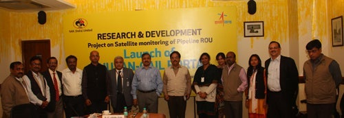
Image: Gail, Isro team up to monitor pipeline through Bhuvan-GAIL portal. Photo: courtesy of GAIL (India) Limited.

