
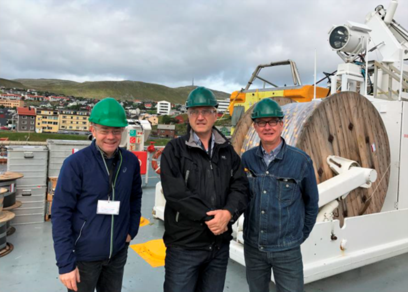
The Norwegian Petroleum Directorate (NPD) has collected 2D seismic data on the Gardarbank High, north-east of Bjørnøya and south of Hopen.
Data from the 4,500km area was acquired from 22 August to 23 September last year by WG Columbus vessel.
Go deeper with GlobalData
Discover B2B Marketing That Performs
Combine business intelligence and editorial excellence to reach engaged professionals across 36 leading media platforms.
NPD project manager for the seismic acquisition Lars Jensen said: “The operation was very successful; progress was good and we were able to acquire the entire programme as planned.”
Gardarbank High is a geological ridge situated between Spitsbergen Bank and Hopen Deep.
NPD is tasked with mapping of areas that are not yet allowed for petroleum activity. It undertakes geological mapping and then interprets data gathered to ascertain petroleum potential.
NPD gathered seismic data in the eastern part of the Barents Sea from 2012 to 2016. The results of this activity were presented in last spring.
US Tariffs are shifting - will you react or anticipate?
Don’t let policy changes catch you off guard. Stay proactive with real-time data and expert analysis.
By GlobalDataThe acquisition of Gardarbank High data is a part of the NPD’s mapping activity. This data offers improved seismic coverage.
Processing of the seismic data is slated to be completed in the third quarter, with plans to use the data by the directorate in evaluation of projects.

