
Total Depth has collaborated with GeoProxima to provide detailed surface analysis and processing services to the geoscience sector.
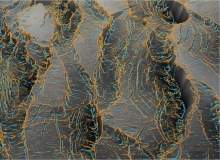
GeoProxima’s processing technology calculates and extracts any surface’s geometric properties and catalogues them into a queryable spatial database.
Since a fundamental property of any surface is its geometric characteristics, these properties reveal features and objects not easily identifiable by visual analysis alone, providing us with a better understanding of the surface morphology.
GeoProxima technology implements a mathematical breakthrough created specifically for digital surface analysis. With this mathematical innovation, the analysis and parameterisation processes are automated and unbiased, producing stable results without introducing high-frequency coherent noise.
Moreover, the geometric characteristics of each and every surface attribute analysed is delivered in a queryable database. Using simple SQL queries, the user can identify, extract and quantify any objects of interest.
The user can also look at many surfaces simultaneously by creating optical (vertical) stacks highlighting geometric properties that extend across multiple surfaces (for example faults, fractures, complex deformation, anticline, synclines and collapse).
GeoProxima applications
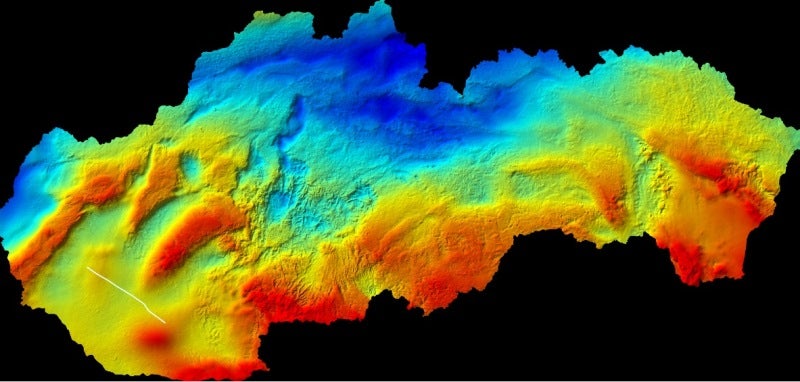
Regardless of whether the data surface is sourced from potential fields, ortho-photogrammetry or thousands of surfaces from a Seisnetics 3D spatial database, GeoProxima processing will identify and quantitatively extract geometric objects quickly and accurately.
The technique therefore has applications in seismic, potential fields, light detection and ranging (LIDAR), orthophotogrammetry, magnetic resonance imaging (MRI), infrared imaging, X-Ray, satellite imagery data and much more.