
INSTALL
Offshore and Nearshore Marine Survey Genuine Solutions
INSTALL presents itself as an innovative and avant-garde technical support to the Marine Offshore Survey Industry.
Subscribed
You have successfully submitted your enquiry. Someone from our company will respond ASAP
About Us

Established in Naples, Italy in 2010 by a young and experienced team of ICT, geophysicist and marine survey engineers, INSTALL is an innovative and avant-garde technical support to the marine offshore survey industry.
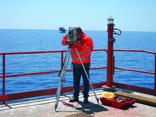
INSTALL provides marine geophysical and environmental surveys and technical support services worldwide to companies and organisations operating in any marine or aquatic environment.
Our reference market includes offshore oil and gas, submarine cables, port and coastal, renewable energies, scientific research, marine technologies and other related businesses.
INSTALL offers a wide range of technical, operational and scientific support services in the fields of marine sciences and technologies and marine survey engineering.
Services provided by INSTALL include:
- Inspection, maintenace and repair (IMR)
- Geophysical survey
- Construction support
- Topography and dimensional survey
- Inspection in difficult and polluted environments
- Global information system (GIS) and charts
- Software development and technological innovation
Construction and IMR
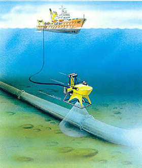
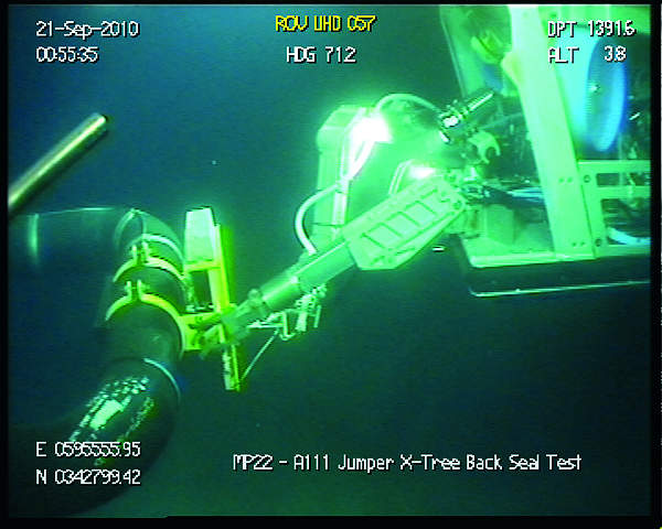
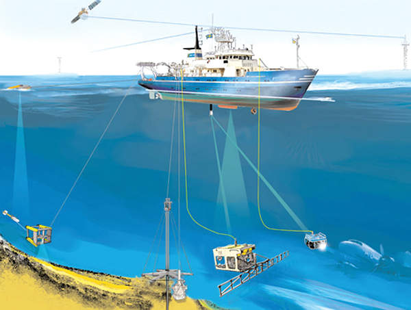
INSTALL has focused on equipment and application development for the growing IMR market. In recent years, a vast amount of seabed structures and other hardware have been developed and installed offshore, all of which require regular inspection and maintenance. The company has focused its skillsets on offering specialised and cost-contained services.
A range of services are provided within this market, including visual soft applications, light construction work, inspection and remotely operated vehicle (ROV) operations. In addition, INSTALL provides vessels to support all of their services.
Geophysical survey
INSTALL offers geophysical survey services from basic bathymetric surveys to fully integrated geoscience solutions. The company is equipped to meet the needs of its clients, deploying innovative technology to provide the most appropriate and cost-effective solutions in the offshore environment.
Integration of the least of these technologies and techniques allows the company to offer customers a complete survey solution in even the most complex of scenarios:
- Single-beam echosounder surveys are locally detailed bathymetric surveys usually suitable for very shallow water, such as inside a harbour area
- Multi-beam echosounder surveys are detailed bathymetric surveys suitabe for shallow and deep water
- Side-scan sonar surveys can provide a very detailed seabed features survey, seabed acoustic inspection, target inspection and a geomorphological survey
- Magnetometer surveys provide metallic debris reconnaissance surveys, and gradiometer surveys
- Sub-bottom profilers can manage seabed seismic high-resolution profiles, seismic buried object detection, buried surveys and identification and pre-mining/ pre-dredging seismic surveys
- Sparkers give a high-penetration seismic profile using a single or multi channel
- Coring provides core sampling and stratigraphics/ sedimentological logs
- Cone penetration test
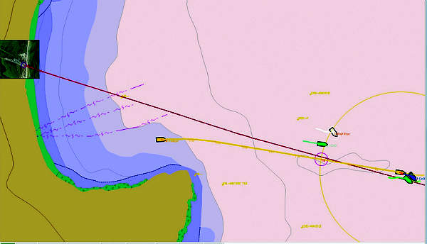
GIS
A GIS integrates hardware, software and data for capturing, managing, analysing and displaying all forms of geographically-referenced information. It allows us to view, understand, question, interpret and visualise data in ways that reveal relationships, patterns and trends in the form of maps, globe, reports and charts.
A GIS helps you answer questions and solve problems by looking at your data in a way that is quickly understood and easily shared. GIS technology can be integrated into any enterprise information system framework.
Autochart
Autochart is an AutoCAD extension that automates the production of north-up and alignment sheets for both hydrographic and terrestrial datasets. It helps achieve compressed delivery schedules by creating fully georeferenced multi-paneled charts in a fraction of the time taken by manual drafting techniques.
Chart types include:
- Site surveys
- Cable route surveys
- Pipeline route surveys (prelay through to inspection)
- Pipeline route engineering (onshore and offshore)
- Exclusive economic zone (EEZ) surveys
- Wind farms
Visual soft
The visual soft suite is modular collection of applications to record, edit, archive, review and report digital video inspection data. It is designed for any type of video inspection where large volumes of video must be recorded from one or more camera and synchronised with other data resources. The suite of products caters for both structure and pipeline inspection with minimal configuration to change modes. The software has been integrated into most industry standard inspection packages (further details are available on request).
The key component of video inspection is the initial video encoding, and this has been designed to meet the requirements of all inspection and monitoring tasks. Automation is a key feature of providing automated file management and distribution, relieving the operator of the burden of manually copying large quantities of video files.
The visual soft suite is a world leader in subsea digital inspection systems. It has a proven track record in the offshore inspection survey market since 2001, with more than 600 operational systems worldwide. INSTALL provide a complete solution for digital video capture, playback, processing and reporting of pipeline, structural or other inspection survey data for the offshore oil and gas industry.
LBL and metrology
INSTALL offers acoustic metrology services as a complete package from procedure study and editing, engineering and operating and operations offshore. Our team is fully trained in the latest generation of the Sonardyne 6G and will give you complete support in all of your operations.
Dam inspection
INSTALL’s dam inspection method is based an underwater positioning system that’s specifically optimised for the in-water inspection of vertical structures by ROV.
It can inspect dams and other vertical structures accurately with position-quality indicators, rapid set-up and calibration in any location in minutes. It uses any available dam plan, photo or diagram. Painting the dam’s features shows the coverage as inspection progresses and fixes relevant events for further replay or yearly inspections.
Contact Details
Website
Email Address
Address
80128 Napoli,
Italy