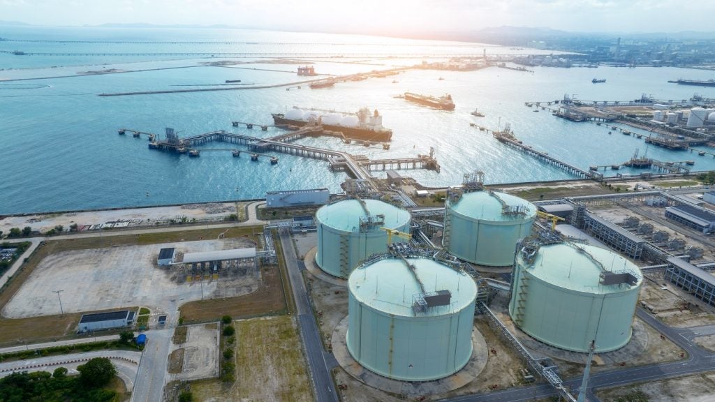
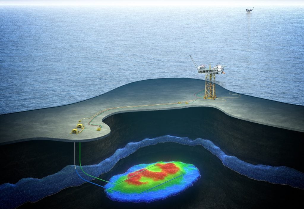
Pompano I is a producing conventional oil field located in deepwater in the US and is operated by Talos Petroleum. According to GlobalData, who tracks more than 34,000 active and developing oil and gas fields worldwide, the field is located in block Mississippi Canyon 29, with water depth of 2,266 feet. Buy the profile here.
Smarter leaders trust GlobalData

Field participation details
The field is owned by Hunt Consolidated and Talos Energy.
Production from Pompano I
The Pompano I conventional oil field recovered 52.75% of its total recoverable reserves, with peak production in 2016. Based on economic assumptions, production will continue until the field reaches its economic limit in 2051.
About Talos Petroleum
Talos Petroleum LLC (Talos Petroleum) operates as an oil and gas company. The Company acquires, explores, and develops offshore oil and gas assets. Talos Petroleum is headquartered in Louisiana, the US.
See Also:
For more details on the Pompano I Conventional Oil Field, buy the profile here.
Premium Insights
From
![]()
The gold standard of business intelligence.
Blending expert knowledge with cutting-edge technology, GlobalData’s unrivalled proprietary data will enable you to decode what’s happening in your market. You can make better informed decisions and gain a future-proof advantage over your competitors.
GlobalData, the leading provider of industry intelligence, provided the underlying research used to produce this article.
This information is drawn from GlobalData’s Oil & Gas Intelligence Center, which provides detailed profiles of 34,000+ oil and gas fields, 400,000+ exploration blocks, 1,100+ LNG terminals, 3,400+ gas processing plants, 5,000+ storage terminals, and 8,000+ pipelines, 1,400+ refineries and 13,000+ petrochemical plants worldwide.