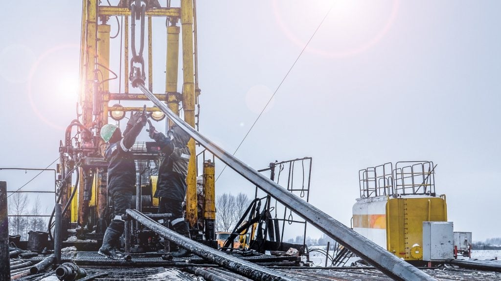
CGG has completed a full-scale commercial survey at Loppa High in the Barents Sea.
Commissioned by Lundin Norway, the survey aimed to develop a more detailed image of a complex carbonate reservoir located at depths ranging from 400m to 2,000m below the seabed.
Go deeper with GlobalData

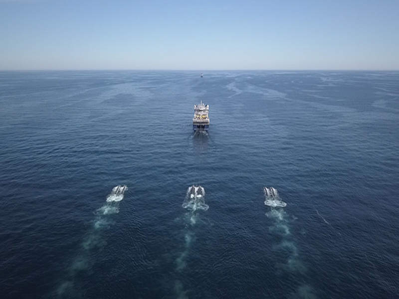
Offshore broadband seismic acquisition and imaging solution TopSeis was used as part of the survey. It deployed seismic sources directly above the streamers in a ‘split-spread’ acquisition geometry to provide zero-offset and near-offset coverage, a strategy that is absent in conventional 3D towed-streamer seismic.
Lundin Norway exploration manager Halvor Jahre said: “Developing TopSeis has been a win-win for Lundin and CGG. It has resulted in an imaging solution for Lundin that addresses the specific challenges on the Loppa High, and has also resulted in a new promising technology for the industry.
“One unexpected benefit we have already seen is that the TopSeis water bottom resolution is unprecedented for seismic acquisition and is comparable with existing multibeam sonar data.”
CGG CEO Jean-Georges Malcor said: “TopSeis is the result of several years of close collaboration with Lundin Norway to develop, test and industrialise this revolutionary new concept.
How well do you really know your competitors?
Access the most comprehensive Company Profiles on the market, powered by GlobalData. Save hours of research. Gain competitive edge.

Thank you!
Your download email will arrive shortly
Not ready to buy yet? Download a free sample
We are confident about the unique quality of our Company Profiles. However, we want you to make the most beneficial decision for your business, so we offer a free sample that you can download by submitting the below form
By GlobalData“We look forward to the results of this first full-scale survey to solve the imaging challenges and deliver new insights into the reservoirs of the Loppa High.”
Image: During the TopSeis survey in the Barents Sea, CGG Geo Caspian positions the seismic sources directly over the streamer, which are spread towed by the CGG Geo Coral. Photo: courtesy of CGG.