Schlumberger has launched a new technology, the GeoSphere reservoir mapping-while-drilling service, which has been tested in more than 140 wells worldwide.
The new technology gives operators an opportunity to optimise well landing operations, steering capabilities and mapping of multiple boundaries using new deep-directional resistivity measurements enabled by proprietary real-time interpretation techniques, the company claims.
Go deeper with GlobalData

The GeoSphere service enables the positioning of wells within target reservoirs, away from fluid boundaries, leading to increased reservoir exposure, as well as allowing geoscientists to refine their seismic interpretation and geological and structural models.
Schlumberger drilling and measurements president Steve Kaufmann said: “With GeoSphere technology, Schlumberger is introducing the first-ever reservoir mapping-while-drilling service that enables customers to map their reservoirs using unprecedented depth of investigation measurements around the wellbore, combined with a novel mathematical inversion methodology.
“This long-awaited technology milestone commercialisation now enables asset teams to seamlessly integrate the data provided by the reservoir mapping-while-drilling service with other downhole measurements to optimise production and reservoir management.”
The GeoSphere service was tested in North America, South America, Europe, the Middle East, Russia and Australia, where in the North Sea the service has successfully landed a well and detected the top of the reservoir target from a distance of nearly 50ft, allowing for optimisation of the drilling plan before the formation is drilled.
How well do you really know your competitors?
Access the most comprehensive Company Profiles on the market, powered by GlobalData. Save hours of research. Gain competitive edge.

Thank you!
Your download email will arrive shortly
Not ready to buy yet? Download a free sample
We are confident about the unique quality of our Company Profiles. However, we want you to make the most beneficial decision for your business, so we offer a free sample that you can download by submitting the below form
By GlobalDataWith the drill bit more than 300ft away from the target reservoir, the mapping-while-drilling technology confirmed that there was considerable distance for adjusting the trajectory if needed, to optimise reservoir entry.
In northern Europe, the GeoSphere service was used to double the reservoir net-to-gross ratio from 0.45 to 0.96 on two horizontal wells with complex geologies.
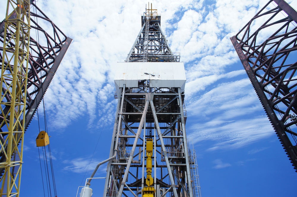
Image: Using deep, directional electromagnetic measurements, GeoSphere reveals sub-surface bedding and fluid-contact details more than 100ft from the wellbore. Photo: courtesy of Schlumberger Ltd.