
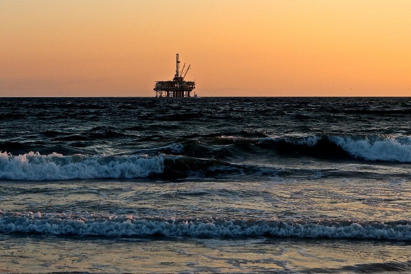
Underwater mapping company TGS has completed the processing of seismic data for the Erlend Wild West area, offshore Shetland, UK.
The company said the multi-client 3D seismic data would provide an enhanced subsurface image to assist geological analysis of this region. Delivery of the first results is currently taking place.
Go deeper with GlobalData

Discover B2B Marketing That Performs
Combine business intelligence and editorial excellence to reach engaged professionals across 36 leading media platforms.
Erlend Wild West is a 3,900km2 survey. Acquisition of 1,900km2 of data started during the fall of 2018 using Clari-Fi broadband technology to deliver high fidelity subsurface imaging.
Also included in the dataset are a number of vintage surveys, including EW12 3D.
According to TGS, the combination of processing of new and reprocessing of vintage data for this survey area has led to significantly improved visualisation of the sub–basalt-influenced geological settings.
This combination allows for a better understanding in exploration and production (E&P) sector regions of the UK continental shelf.
TGS CEO Kristian Johansen said: “I am pleased that we now have available to E&P customers this Erlend Wild West survey in the West of Shetlands region, which covers an area that already has existing discoveries and where a number of high potential prospects have also been identified.
“Already, feedback from first customers has been particularly positive and reinforces the extensive work we have recently undertaken to build up our world-class processing and imaging capabilities.”
Last month, TGS started the Eastern Delta Refocus 3D ocean bottom seismic (OBS) imaging programme in the US Gulf of Mexico (GoM).
In December last year, one of its seismic datasets to Oil and Gas Climate Initiative (OGCI) Climate Investments’ Net Zero Teesside carbon capture, utilisation and storage (CCUS) initiative.

