
Zeta uses the most modern and innovative techniques.
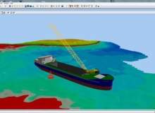
The vessels used for dredging are equipped with a control and dredging guide system featuring a satellite system for determining the position of the ship with sub-metric precision, able to display to scale the outline of the dredge in a regional technical cartography, showing the perimeter of the area to dredge and the depth of the seabed.
The surveys are performed using professional hydrographic instrumentation including the multibeam echosounder and the GPS-RTK position system with centimetre accuracy.