
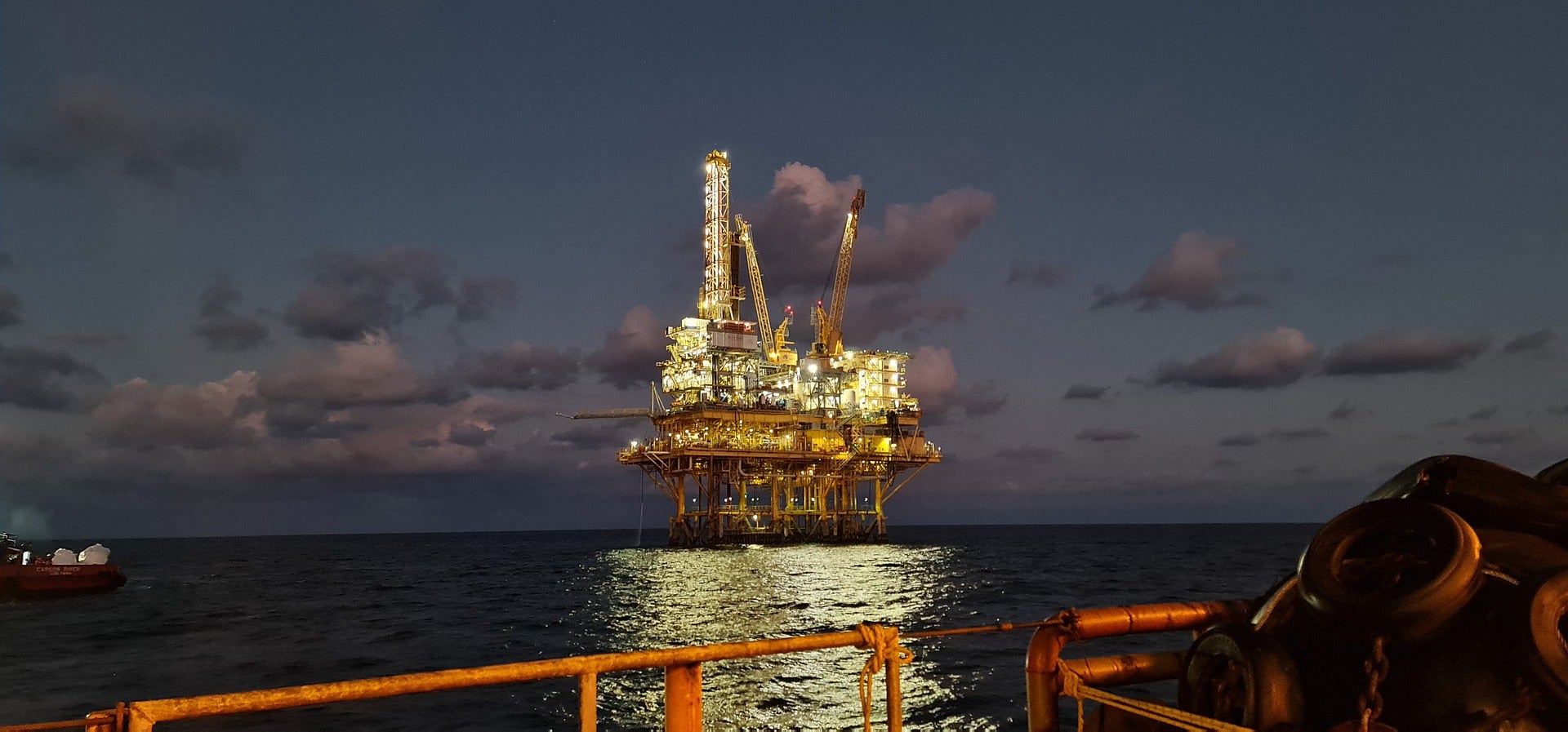
Canadian firm GHGSat has launched a research project to develop satellite imaging technology to help identify, quantify and reduce methane emissions from offshore oil and gas platforms.
Supported by oil firms Chevron, Shell, and TotalEnergies, the project aims to demonstrate high-resolution satellite-based monitoring of offshore anthropogenic methane (CH4) emissions.
Go deeper with GlobalData

Discover B2B Marketing That Performs
Combine business intelligence and editorial excellence to reach engaged professionals across 36 leading media platforms.
In a press statement GHGSat said: “With a vantage point ~500km above Earth, and high revisit rates, satellites could hold the key to verifying emissions from rigs, easily and cost-effectively.”
The 12-month research project involves assessing the feasibility of high-resolution, space-based technology to monitor and measure potential methane emissions at offshore facilities.
The new ‘Glint Mode’ technology will be able to observe sun glint on the ocean surface to end interference effects on data acquisition.
GHGSat said that the resulting satellite imaging can be integrated with local measurements for which TotalEnergies has developed the ultra-light AUSEA drone-mounted spectrometer.
GHGSat CEO Stephane Germain said: “This is a GHGSat research project but one driven by customer demand. Offshore producers are looking for ways to confirm their reported emissions. With this new research, we hope to show that space can provide the data they need, in a timely, reliable, and cost-effective way.
“Measuring offshore emissions properly is important: We need to improve the accuracy of the global methane stock take, replacing estimates with precise data. As methane is 30 times more potent than CO₂ as a greenhouse gas, over 100 years, reducing CH4 emissions is one of the most effective near-term climate change actions.”
Subject to successful demonstration, the Glint Mode technology will be used at six offshore facilities from each of the partners at locations such as the North Sea and the Gulf of Mexico.
GHGSat plans to start the initial feasibility assessment later this year.
